The Best Trails in the Waterloo Region

By Hildeberto Mendonca
Wednesday, August 12, 2026
Not every trail in the Waterloo Region has to be conquered at race pace. Some of the best ground here is meant to be walked, not run: flat riverside paths, quiet forests, and conservation areas where the point is to slow down and actually look around. Whether you are a hiker chasing a longer loop on the weekend or a walker looking for a peaceful hour after work, these are the trails I keep coming back to.
The list below is organized by effort, from easy strolls suitable for strollers and beginners to longer hikes that reward a full morning. Distances are approximate for a single loop or out-and-back, since most of these networks connect to each other and can be extended as far as you like.
Waterloo Park
- Distance: 2-3km of paved and gravel paths
- Terrain: flat, fully accessible
Right in the middle of the city, Waterloo Park is the easiest entry point on this list. Paved paths loop around a pond, and mature trees that turn the whole park gold in the fall. It connects directly to the Laurel Trail, so a short walk can turn into a much longer one without ever leaving a maintained path.
In this park, it is possible to see a map of all the interconnected trails, close to the Perimeter Institute.
Iron Horse Trail
- Distance: 5.5km one-way, connecting Uptown Waterloo to Downtown Kitchener
- Terrain: flat, paved
The Iron Horse Trail follows an old rail corridor straight through the heart of both cities, making it one of the most convenient walks in the region if you're starting from home rather than driving to a trailhead. It passes parks, backyards, and a few street crossings along the way, and connects into the Trans Canada Trail network at both ends.
Breithaupt Park
- Distance: 3-4km of trails along the river dyke
- Terrain: mostly flat, gravel and dirt
Breithaupt Park sits in Kitchener's Bridgeport neighbourhood, close to the Grand River but with its own self-contained network of trails through the park itself. It's a straightforward, flat walk past ball diamonds, a playground, and open green space, with a shaded path along the treeline. It's a good option for a short, easy walk close to downtown Kitchener.
Kiwanis Park
- Distance: 2-3km of trails along the riverbank
- Terrain: flat, gravel and grass
Kiwanis Park sits along the Grand River near Chicopee, in the east end of Kitchener, and it's one of the quieter riverside spots on this list. The trail follows the water past a boat launch and open fields. It's an easy, flat walk on its own, and it also links into the Grand River Trail if you want to keep going further north or south.
Laurel Creek Nature Reserve
- Distance: up to 10km of connected trails
- Terrain: mostly flat, gravel and dirt, some roots near the creek
Laurel Creek is the natural extension of Waterloo Park, following the creek past Columbia Lake and into a quieter conservation area managed by the Grand River Conservation Authority. The trails wind through wetlands and forest, and it's common to spot herons, deer, and turtles along the water. There is a small entrance fee, but the reserve is large enough to fill an entire afternoon of easy walking.
Huron Natural Area
- Distance: 5km of trails and boardwalks
- Terrain: flat, boardwalks over the wetland sections
Tucked into a residential part of Kitchener, Huron Natural Area feels far bigger than its footprint. Boardwalks carry you over marshland without ever getting your feet wet, and the surrounding trails pass through mixed forest that is especially good for birdwatching in spring. It's one of the few spots in the region where you can do a proper wetland walk without driving out of the city.
Bechtel Park Natural Area
- Distance: 2-3km of trails
- Terrain: flat, dirt and gravel, with a boardwalk over the creek
On the north side of Waterloo, tucked behind the sports fields of Bechtel Park, this small natural area is an easy pocket of forest and wetland. A boardwalk carries the trail over a creek, and the shaded loop through the trees is quiet year round, popular with dog walkers. It won't take more than half an hour to cover the whole thing, but it's a pleasant detour if you're already in the area.
Grand River Trail
- Distance: over 300km regionally, walkable in sections of any length
- Terrain: mostly flat and gravel, with a few short climbs
The Grand River Trail is the backbone connecting most of the region's trail network, following the river from Cambridge through Kitchener-Waterloo and up toward Elmira. You don't need to walk it all, most people pick a section and turn around whenever they feel like it.
Shade's Mills Conservation Area
- Distance: 8km of trails around the reservoir
- Terrain: mostly flat with a few rolling sections, dirt and gravel
Shade's Mills, in Cambridge, wraps around a reservoir and a sandy beach, which makes it a nice destination hike rather than just a stretch of trail. The loop around the water takes a couple of hours at walking pace, passing through forest and open meadow along the way. Like Laurel Creek, it requires a small admission fee, but the variety of scenery makes it worth the stop.
Monarch Woods
- Distance: 2km of trails
- Terrain: mostly flat, with one steep, short climb on gravel
Kitchener has the privilege of having natural areas right in the middle of the city, and Monarch Woods is one of the best examples. A creek cuts through the forest, crossed by a footbridge, and the trail includes one short, steep climb that local high-school cross-country teams use for hill training in the fall. Outside of that one hill, the rest of the loop is a calm, shaded walk.
Columbia Forest
- Distance: around 10km of interconnected trails
- Terrain: rolling, dirt with some roots
Columbia Forest is the largest urban trail network in the region, and it's big enough to get pleasantly lost in. The trails roll gently through the trees with enough elevation change to make it feel like a proper hike, not just a walk in the park. It's shaded almost the entire way, which makes it a good choice on hot summer days when the open river trails offer no cover.
Health Valley Trail
- Distance: around 6km one-way
- Terrain: mostly flat, paved and gravel
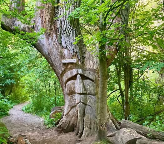
The Health Valley Trail follows the Grand River through Kitchener. It's a scenic, easy walk with steady river views, and it connects into both the Grand River Trail and the Walter Bean Trail, so it works well either as a short outing on its own or as a link between longer sections. Along the way, the trail passes the Wise Old Oak, a massive, centuries-old tree that stands out from everything else growing nearby, and it's common to see horses passing freely through this stretch, a reminder of the farmland the trail borders.
Walter Bean Grand River Trail
- Distance: 76km loop, walkable in any section
- Terrain: mix of paved, gravel, and dirt, with some hills
For hikers looking for something bigger, the Walter Bean Trail is a full loop around the region, tracing the Grand and Speed Rivers through Kitchener, Waterloo, and Cambridge. Very few people walk the whole thing in one go, but picking a section, RIM Park to Bridgeport is a good one, gives you a proper half-day hike with river views most of the way. Trail markers with a distinct blue and white logo make it easy to follow, even where it crosses roads or other trail systems.
Kissing Bridge Trailway
- Distance: 40km one-way, from St. Jacobs to Millbank
- Terrain: flat, converted rail trail with crushed stone
This is a converted rail line that runs northwest from St. Jacobs through Mennonite farmland, one of the best places in the region for a long, flat walk with no traffic to worry about. The surface is smooth and consistently flat, since it follows the old railway grade, which makes it a favourite for walkers who want distance without the terrain challenge. Starting from St. Jacobs also means you can turn the outing into a stop at the farmers' market before or after.
The Hydrocut
- Distance: over 40km of interconnected singletrack, split between two trail systems
- Terrain: rolling, sandy dirt, with technical roots and berms
The Hydrocut is best known as a mountain biking destination, but its singletrack, split between a system near Bloomingdale and another near New Dundee, is just as good on foot. The sandy soil drains quickly, so the trails stay in good shape even after rain, and the constant rolling terrain through pine and hardwood forest makes for a hike that never feels flat. Trail etiquette matters here since bikes share the same paths, so stay alert and step aside when needed.
Baden Hills
- Distance: around 5km of trails
- Terrain: hilly, dirt with roots, rocks, and fallen trees
If you want your hike to feel like a workout, Baden Hills is the one place in the region that consistently delivers. The trails climb and drop repeatedly through dense forest, with enough technical footing to demand real attention. It's not the place for a casual stroll, but for hikers who miss real elevation, this is the closest the region gets to it.
ENDURrun Ultimate 2026
Some races are not about a single effort, but about stacking one effort on top of another, day after day, until the body and mind have nowhere left to hide. That's the promise of the ENDURrun, now in its 21st edition, a multi-stage race through the Region of Waterloo that challenges runners to cover 160km across 7 stages in 8 days. Unlike the Sport edition I ran in 2023, which totals 80km, the Ultimate edition doubles the distance, pushing closer to a week of racing 100 miles.
ReadThe Devil's Key Trail Race 2026
The Devil's Key landed exactly one week after finishing ENDURrun Ultimate 2026, and the days between were not the taper I needed — I spent most of them sick, still fighting off the viral infection that caught up with me during that race. By the morning of the start, at Devil's Glen Country Club in Duntroon, I'd already regretted signing up for The Devil's Key more than once. 66.6km on the Bruce Trail, my second time on this course, was waiting anyway.
ReadMore Experiences
The Devil's Key Trail Race 2026
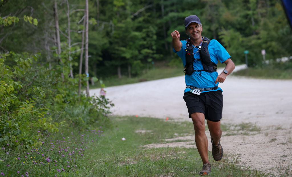
The Devil's Key landed exactly one week after finishing ENDURrun Ultimate 2026, and the days between were not the taper I needed — I spent most of them sick, still fighting off the viral infection that caught up with me during that race. By the morning of the start, at Devil's Glen Country Club in Duntroon, I'd already regretted signing up for The Devil's Key more than once. 66.6km on the Bruce Trail, my second time on this course, was waiting anyway.
ENDURrun Ultimate 2026
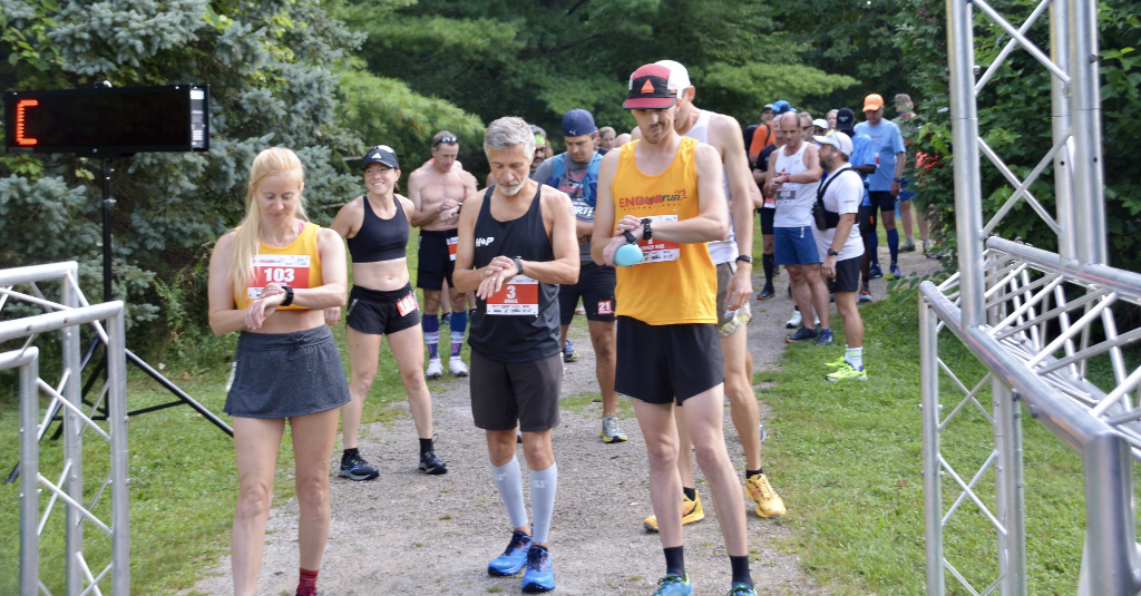
Some races are not about a single effort, but about stacking one effort on top of another, day after day, until the body and mind have nowhere left to hide. That's the promise of the ENDURrun, now in its 21st edition, a multi-stage race through the Region of Waterloo that challenges runners to cover 160km across 7 stages in 8 days. Unlike the Sport edition I ran in 2023, which totals 80km, the Ultimate edition doubles the distance, pushing closer to a week of racing 100 miles.
Tally in the Valley 12 Hours Night Race
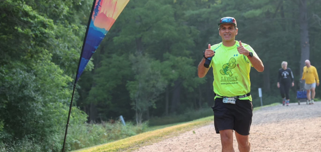
My main goal with this race was to learn how I would feel and what the challenges are of running at night. I also wanted to complete at least 1 lap per hour and cover a total of 80km or more.
Quebec Mega Trail 80 2026
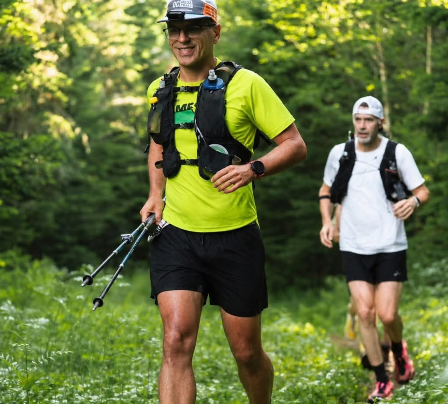
The 80 km you run at QMT is not a regular 80 km you run elsewhere. It is tough. It requires planning, logistics and strategy. That’s why I love QMT. It gives the mental preparation to face any other challenges. With proper physical training, nothing else can stop you.
The Best Hills in Waterloo Region
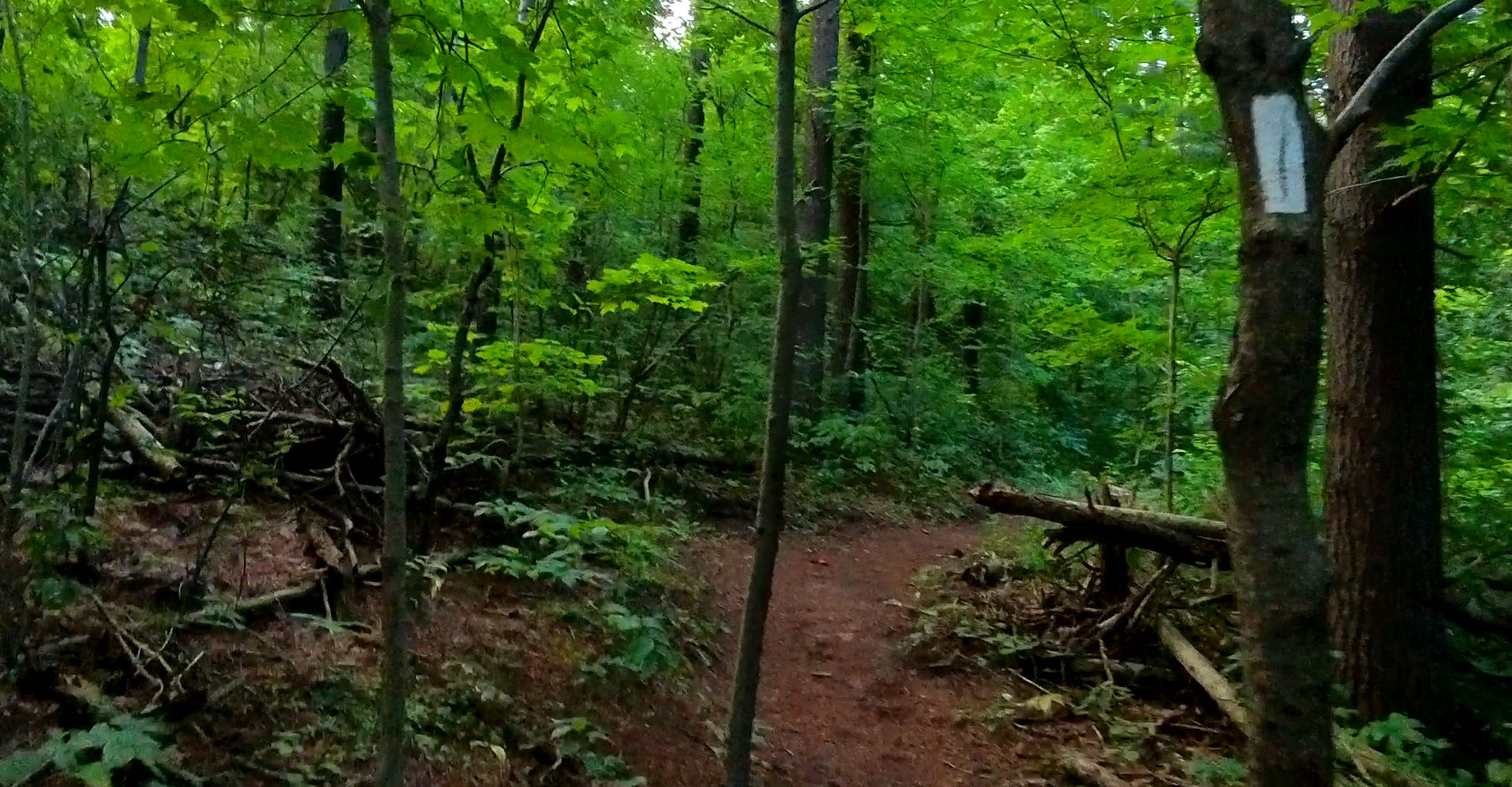
These are the top 6 hills in Waterloo Region, where you can train for your next race, from cross-country to ultra-distances