
The measurements are completely subjective. The level of difficulty is measured by my ability of reaching the top without walking and how breathless I was at the top. Only one of these hills forced me to walk. The level of technicality is measured by the presence of rocks, roots, and other obstacles on the trail, as well as the regularity of the terrain.
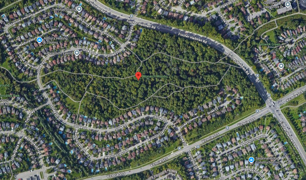
Monarch Woods
- Difficulty: low
- Technical: low, regular terrain with gravel
Kitchener has the privilege of having natural areas in the middle of the city, with creeks covered by trees and crossed by trails. Monarch Woods is one of these special places. It has a steep uphill, perfect for hill repeats, where many high-school studants train during the cross-country season in the fall.
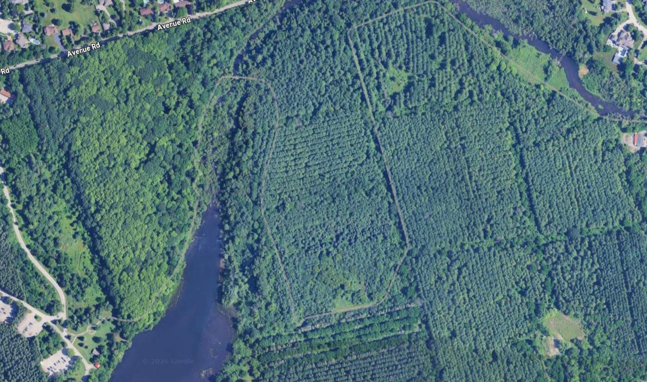
Shade's Mills Conservation Area
- Difficulty: medium
- Technical: medium, with rocks, roots, and irregular terrain.
That's the only considerable hill I found in a conservation area. It means you have to pay a fee to get access to it. The section is located on the west side of the trail network, right after passing the bridge over the creek. The area also have a beautiful lake with a beach, which can be very refreshing after a long run on the trails.
Grand River Trail
- Difficulty: medium
- Technical: low, regular terrain with gravel, but steep
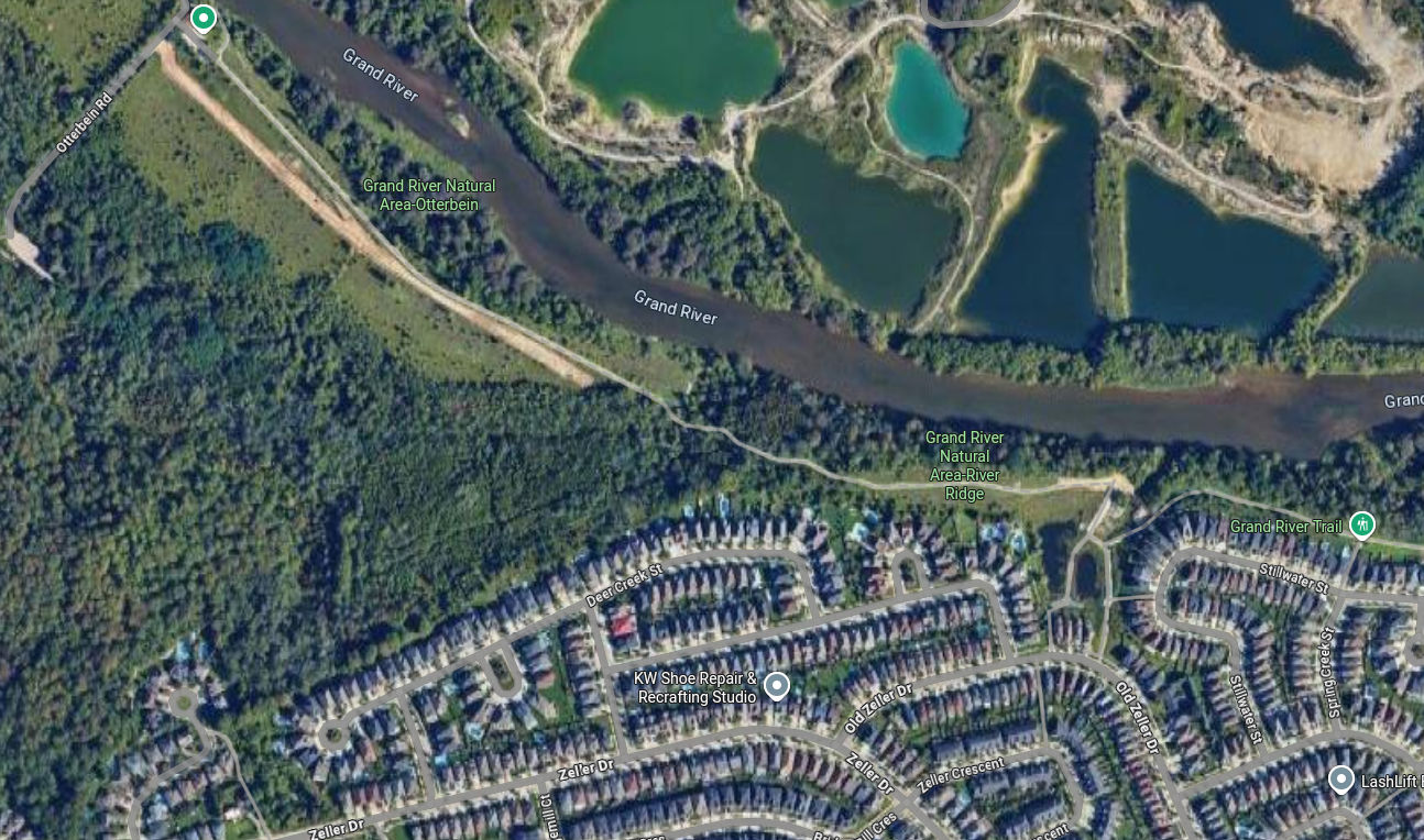
There is a long trail along the Grand River that is mostly flat, but some sections are really challenging. The highlighted section is one of them, with a steep and long uphill on gravel, recently renovated. When you think you are about to reach the top, a few extra meters unvails for your discomfort.
In the same area, you can also find a beautiful single track trail within the woods, with roots and rocks, which is a good alternative if you want to avoid the gravel, but the elevation gain is not significant.
Columbia Forest
- Difficulty: medium
- Technical: medium with roots and irregular terrain.
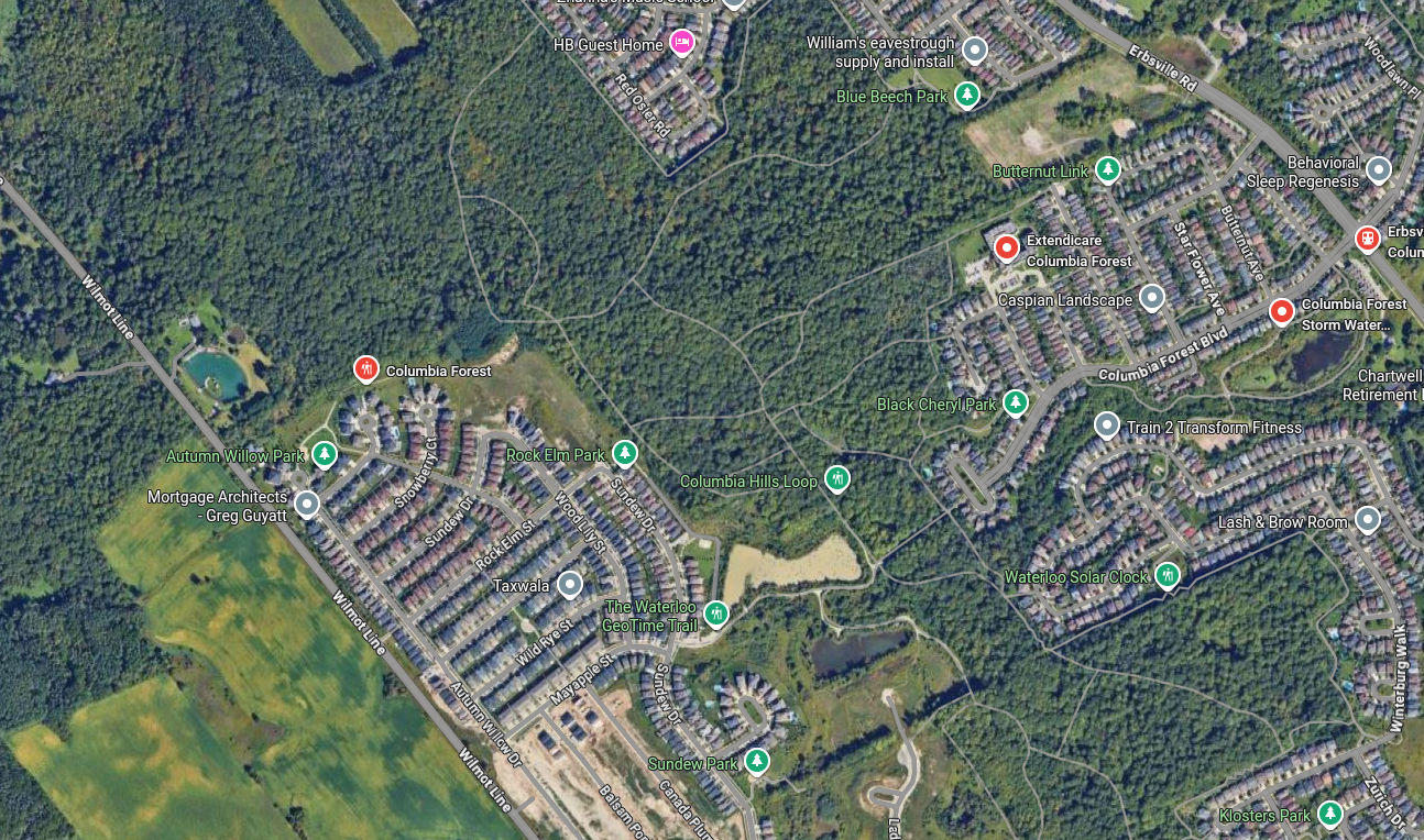
This is the largest trail network in an urban area in the region. A full loop on the trails is around 10km, with a lot of elevation gain. The trails are mostly on dirt, with some sections of gravel, and they are covered by trees, which makes them very enjoyable to run on. The highlighted section is a long uphill on dirt, with some rocks and roots, but the elevation gain is significant. The view from the top is also worth the effort, with a beautiful panorama of the surrounding area.
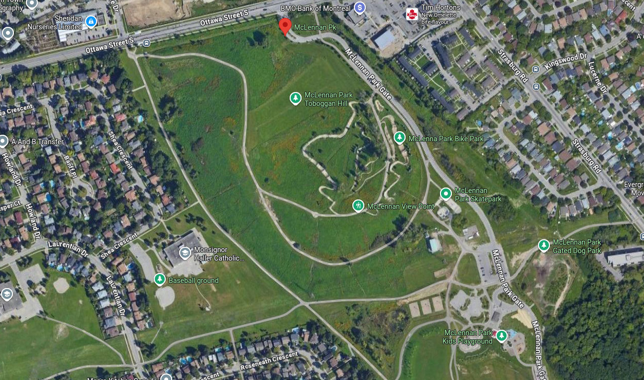
McLennan Park
- Difficulty: high
- Technical: low to medium, depends on the path.
This park is a revitalization of a deactivated land field. The piles of garbage gave place to hilly trails on dirt and gravel. There are long uphills perfect for hill repeats, and more steep single track trails on dirt, which are my favorite ones.
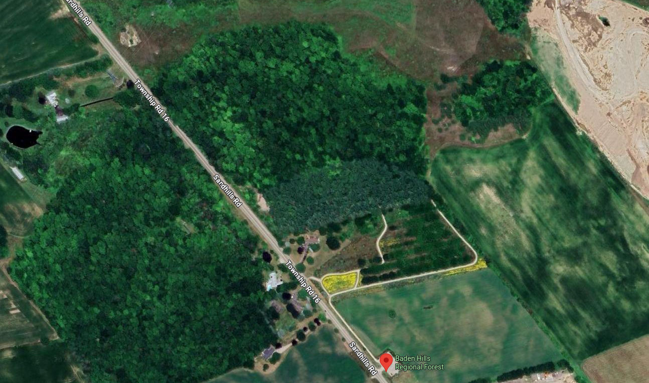
Baden Hills
- Difficulty: highest
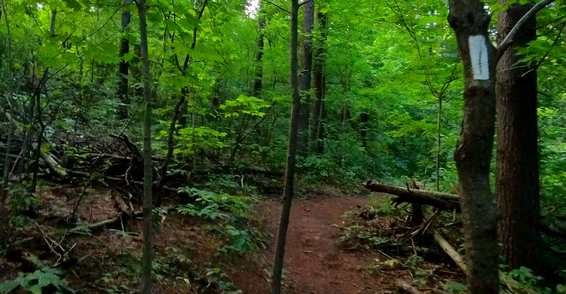
- Technical: high, with roots, rocks and fallen trees.
This is the only hill that I had to walk to reach the top. The trail is on dirt, with a lot of rocks, roots, and fallen trees. A loop is these trails can has an elevation gain of over 50m, compressed into just 2.5km. I consider it the only place in the region where we can trully train for races in British Columbia, Alberta, or Quebec.
On YouTube
These adventures are registered on this YouTube video: